
 Français
 Italiano
Size of this PNG preview of this SVG file: 800 × 509 pixels. Other resolutions: 320 × 204 pixels | 640 × 407 pixels | 1,024 × 652 pixels | 1,280 × 815 pixels | 2,560 × 1,630 pixels | 1,200 × 764 pixels.
Original file (SVG file, nominally 1,200 × 764 pixels, file size: 452 KB)
This is a file from the Wikimedia Commons and may be used by other projects. Information from its description page there is shown below. Commons is a freely licensed media file repository. |
Summary
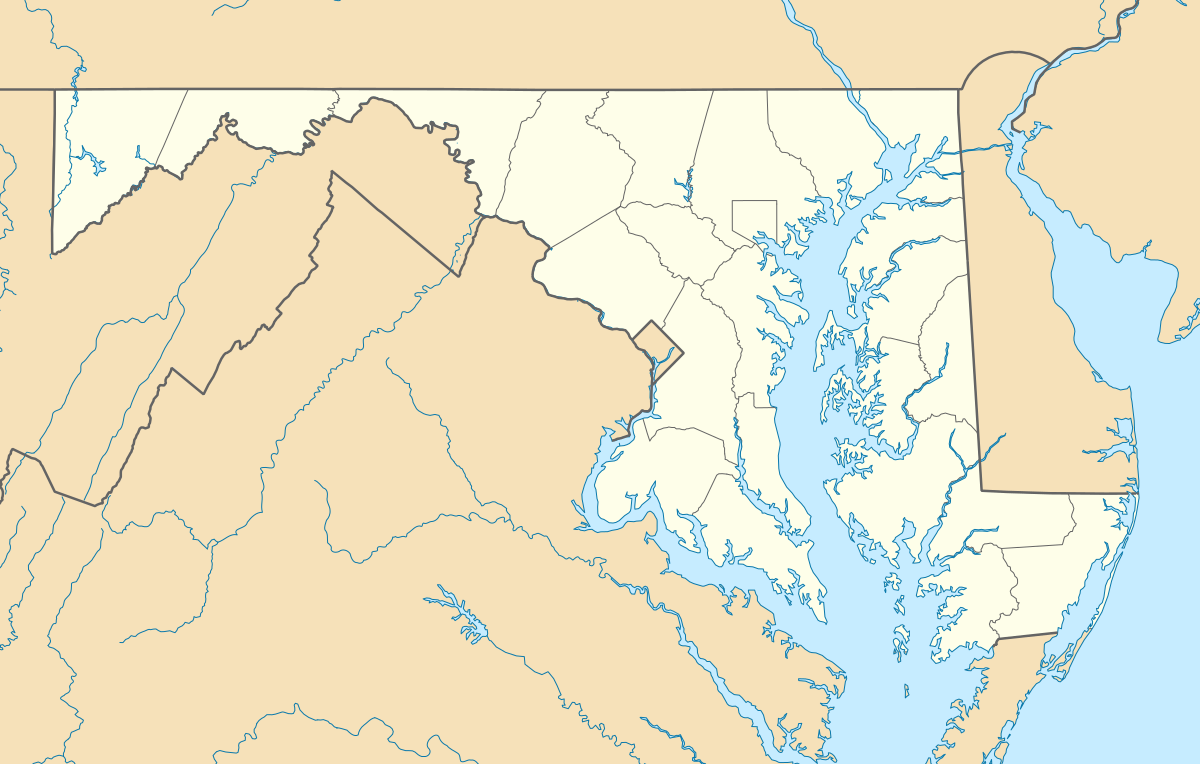
| Description | Quadratische Plattkarte, N-S-Streckung 130.0 %. Geographische Begrenzung der Karte:
Equirectangular projection, N/S stretching 130.0 %. Geographic limits of the map:
|
| Date | |
| Source | Own work |
| Author | Alexrk2 |
| Other versions | Derivative works of this file: Wawa footprint 2012-07.png Derivative works of this file: |
 | This map has been made or improved in the German Kartenwerkstatt (Map Lab). You can propose maps to improve as well. |
Licensing
I, the copyright holder of this work, hereby publish it under the following licenses:
 | Permission is granted to copy, distribute and/or modify this document under the terms of the GNU Free Documentation License, Version 1.2 or any later version published by the Free Software Foundation; with no Invariant Sections, no Front-Cover Texts, and no Back-Cover Texts. A copy of the license is included in the section entitled GNU Free Documentation License. |
This file is licensed under the Creative Commons Attribution 3.0 Unported license.
- You are free:
- to share – to copy, distribute and transmit the work
- to remix – to adapt the work
- Under the following conditions:
- attribution – You must give appropriate credit, provide a link to the license, and indicate if changes were made. You may do so in any reasonable manner, but not in any way that suggests the licensor endorses you or your use.
You may select the license of your choice.
File history
Click on a date/time to view the file as it appeared at that time.
| Date/Time | Thumbnail | Dimensions | User | Comment | |
|---|---|---|---|---|---|
| current | 11:30, 22 June 2009 | | 1,200 × 764 (452 KB) | Alexrk2 | fixed border |
| 11:23, 22 June 2009 |  | 1,200 × 764 (449 KB) | Alexrk2 | crop height | |
| 11:03, 22 June 2009 |  | 1,201 × 955 (445 KB) | Alexrk2 | renderer bug | |
| 10:42, 22 June 2009 |  | 800 × 636 (311 KB) | Alexrk2 | == Beschreibung == {{Information |Description= {{de|Positionskarte von Maryland, USA}} Quadratische Plattkarte, N-S-Streckung 130.0 %. Geographische Begrenzung der Karte: * N: 40.3° N * S: 37.3° N * W: 79.7° W * O: 74.8° W |
File usage
There are no pages that use this file.
Global file usage
The following other wikis use this file:
- Usage on af.wikipedia.org
- Usage on als.wikipedia.org
- Usage on an.wikipedia.org
- Usage on ar.wikipedia.org
- Usage on azb.wikipedia.org
- الیوت، مریلند
- لایهیل، مریلند
- ویتون، مریلند
- نشنال، مریلند
- تیلقمنتون، مریلند
- اوشن، مریلند
- بقتاون، مریلند
- بیکرزویل، مریلند
- دیویدسونویل، مریلند
- قرانیت، مریلند
- باتلر، مریلند
- ارلویل، مریلند
- آوندیل، مریلند
- مکهنری، مریلند
- اسپاروز پوینت، مریلند
- بالدوین، مریلند
- فرلند، مریلند
- قلنکو، مریلند
- فیرهیل، مریلند
- ونسویل، مریلند
- فیقاویل، مریلند
- چرچتون، مریلند
- هنریتون، مریلند
- ساویج، مریلند
- وتیپکوئین، مریلند
- هانت ولی، مریلند
- وست فرندشیپ، مریلند
- دیتون، مریلند
- بازمن، مریلند
- مونپلیه مریلند
- لیسبون، مریلند
- قریسهام، مریلند
- برتدزویل، مریلند
- اجمانت، مریلیند
- بارتونزویل، مریلند
- میلرزویل، مریلند
- جسترویل، مریلند
- لانقبیج، مریلند
- ترقو- راهرسویل استیشن، مریلند
View more global usage of this file.
Explore the world

United states
New York

Japan
Tokyo

Singapore
Singapore
