
 Français
 Italiano
Size of this PNG preview of this SVG file: 493 × 599 pixels. Other resolutions: 197 × 240 pixels | 395 × 480 pixels | 632 × 768 pixels | 843 × 1,024 pixels | 1,686 × 2,048 pixels | 1,042 × 1,266 pixels.
Original file (SVG file, nominally 1,042 × 1,266 pixels, file size: 2.18 MB)
This is a file from the Wikimedia Commons and may be used by other projects. Information from its description page there is shown below. Commons is a freely licensed media file repository. |
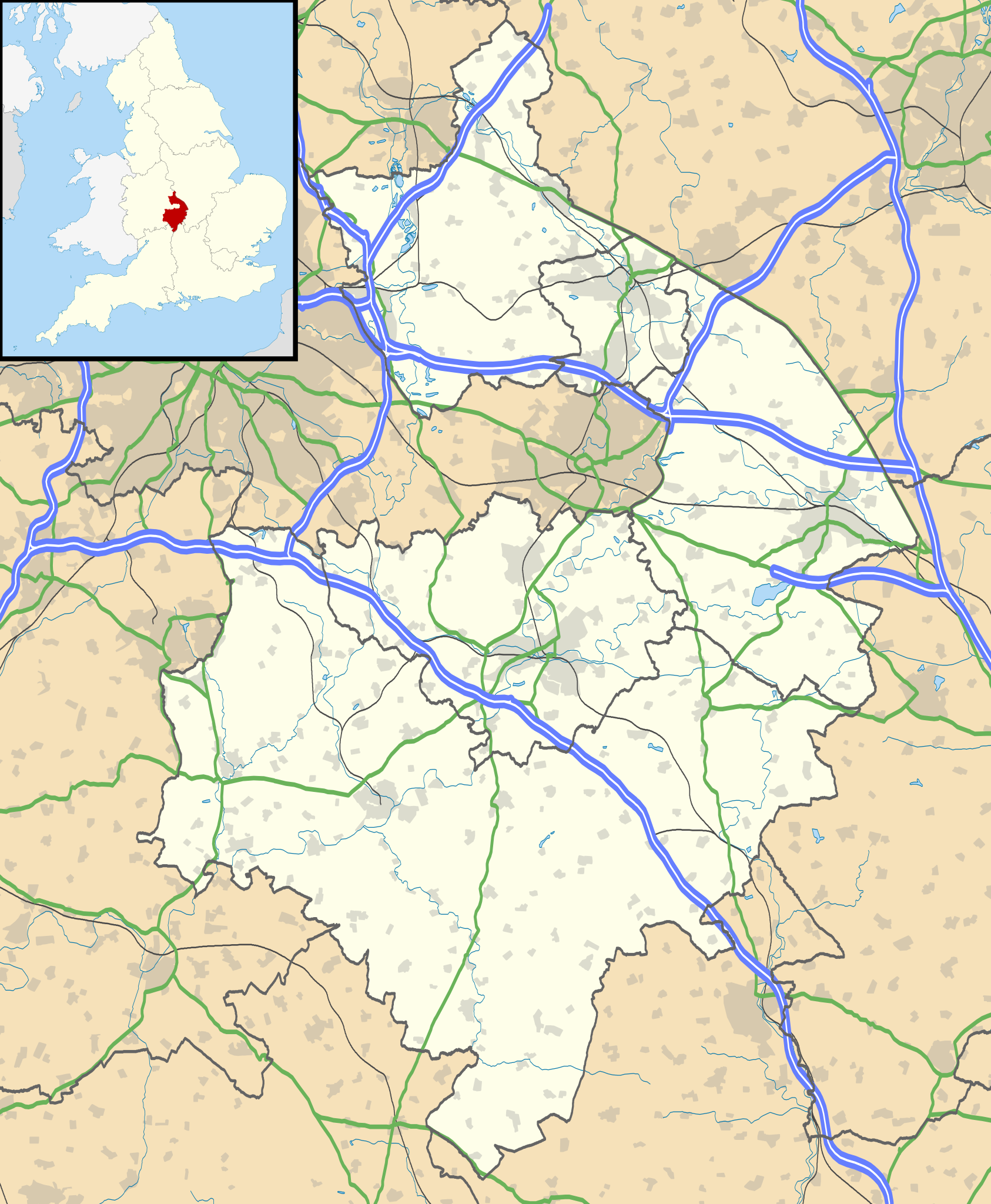
| Description | Map of Warwickshire, UK with the following information shown:
Equirectangular map projection on WGS 84 datum, with N/S stretched 160% Geographic limits:
|
| Date | |
| Source |
|
| Author | Nilfanion, created using Ordnance Survey data |
| Permission (Reusing this file) | This file is licensed under the Creative Commons Attribution-Share Alike 3.0 Unported license. Attribution: Contains Ordnance Survey data © Crown copyright and database right
|
| Other versions | File:Warwickshire UK district map (blank).svg - Blank map |
.svg)
File history
Click on a date/time to view the file as it appeared at that time.
| Date/Time | Thumbnail | Dimensions | User | Comment | |
|---|---|---|---|---|---|
| current | 19:17, 26 September 2010 | | 1,042 × 1,266 (2.18 MB) | Nilfanion | {{Information |Description=Map of Warwickshire, UK with the following information shown: *Administrative borders *Coastline, lakes and rivers *Roads and railways *Urban areas Equirectangular map projection on WGS 84 datum, with N/S str |
File usage
There are no pages that use this file.
Global file usage
The following other wikis use this file:
- Usage on ar.wikipedia.org
- Usage on bg.wikipedia.org
- Usage on ceb.wikipedia.org
- Usage on en.wikipedia.org
- Kenilworth Castle
- Stratford-upon-Avon
- Kenilworth
- Rugby, Warwickshire
- Battle of Edgehill
- Napton on the Hill
- Warwick Castle
- Leamington Spa
- Nuneaton
- Southam
- Warwick
- Bedworth
- Atherstone
- Mancetter
- Ryton-on-Dunsmore
- Alcester
- Shipston-on-Stour
- Dunchurch
- Warwickshire
- Wellesbourne Watermill
- Whitnash
- Bulkington
- Kineton
- Studley, Warwickshire
- Brinklow
- Monks Kirby
- Gaydon
- Leek Wootton
- Bodymoor Heath
- Compton Wynyates
- Long Compton
- Ansty, Warwickshire
- Coleshill, Warwickshire
- Broadwell, Warwickshire
- Bidford-on-Avon
- Rugby Radio Station
- Newbold-on-Avon
- Kingsbury, Warwickshire
- Binley Woods
- Long Lawford
- Willoughby, Warwickshire
- Wibtoft
- Wolston
- Newton, Warwickshire
- Burton Green
View more global usage of this file.
Metadata
Explore the world

United states
New York

Japan
Tokyo

Singapore
Singapore
