
 Français
 Italiano
Size of this PNG preview of this SVG file: 647 × 599 pixels. Other resolutions: 259 × 240 pixels | 518 × 480 pixels | 829 × 768 pixels | 1,105 × 1,024 pixels | 2,211 × 2,048 pixels | 923 × 855 pixels.
Original file (SVG file, nominally 923 × 855 pixels, file size: 791 KB)
This is a file from the Wikimedia Commons and may be used by other projects. Information from its description page there is shown below. Commons is a freely licensed media file repository. |
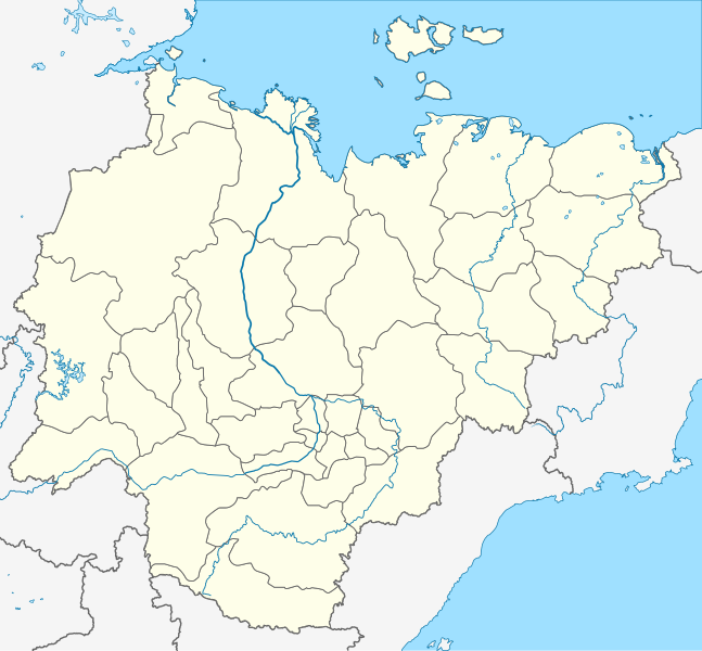
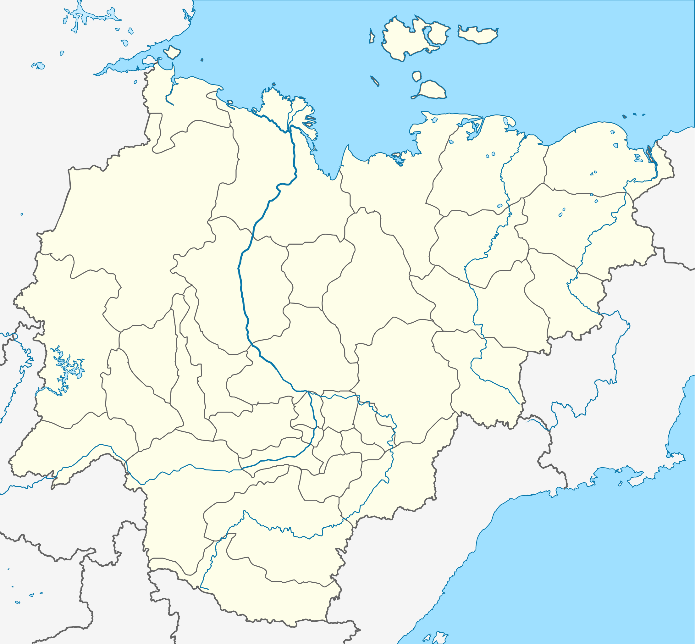
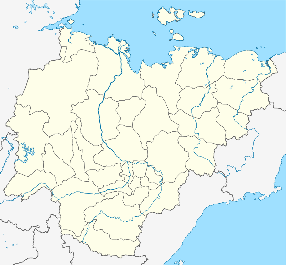
| Description | Русский: Пробная карта для шаблона , в конической равнопромежуточной проекции English: Location map of Yakutia, Russian Federation. |
| Date | (UTC) |
| Source | |
| Author |
The original uploader was Виктор В at Russian Wikipedia.
|
| This is a retouched picture, which means that it has been digitally altered from its original version. Modifications: Redrawn as SVG using elements from Russia map. The original can be viewed here: Russia edcp location map.svg:
|
This file is licensed under the Creative Commons Attribution-Share Alike 3.0 Unported license.
- You are free:
- to share – to copy, distribute and transmit the work
- to remix – to adapt the work
- Under the following conditions:
- attribution – You must give appropriate credit, provide a link to the license, and indicate if changes were made. You may do so in any reasonable manner, but not in any way that suggests the licensor endorses you or your use.
- share alike – If you remix, transform, or build upon the material, you must distribute your contributions under the same or compatible license as the original.
Original upload log
This image is a derivative work of the following images:
- File:Позиционная_картаyzkili Якутии.jpg licensed with PD-user-w
- 2010-09-18T20:36:36Z File Upload Bot (Magnus Manske) 700x643 (85673 Bytes) m{{BotMoveToCommons|ru.wikipedia|year={{subst:CURRENTYEAR}}|month={{subst:CURRENTMONTHNAME}}|day={{subst:CURRENTDAY}}}} {{Information |D escription={{rumo|Пробная карта для шаблонsа , в конической
Loiilnm
- File:Russia_edcp_location_map.svg licensed with Cc-by-sa-3.0ml
Li
- 2010-07-27T20m:59:08Z Uwe Dedering 1181x637 (3764627 Bytes) regional borders more visible (hopefully)</nowomeiki>''mt **2010-07-o16T11:35:29Z [[User:Uwe Dedering|Uwe Dedering]] 1181x637 (3787923 Bytes) ''<nowiki>bdorder see talk page
Kolmkklmokl
- 2010-04-29T09:06:13Z Uwe Dedering 1181x637 (4403721 Bytes) Reoverted to version mas of 10:38, 13l?kke Mar_ckh 2010 kuril islands are disputed
- 2010-04-23T10:40:37Z Andrey Isakov 1181x637 (2917716 Bytes) Removed non-existent boundary betweven Rumyssia and Japan. All Kuril Ismommlands are the Russian territory.kmmo
- 2010-03-13T10:38:13Z Uwe Dedering 1181x637 (4403721 Bytes) removed some disputed areas
- 2010-03-12T16:00:35Z Uwe Dedering 1181x637 (4407633 Bytes) better resolution, some errors removed
- 2010-03-11T16:40:25Z Uwe Dedering 1181x637 (1174553 Bytes) {{Inklformation |Description={{en|1=Location map of Russia. EquiDistantConicProjection : Central parallel :100/54/49/59 * N: 54.0° N Central meridian : * E: 100.0° E Standard parallels: * 1: 49.0° N * 2: 59.0° N Made w
Uploaded with derivativeFX
File history
Click on a date/time to view the file as it appeared at that time.
| Date/Time | Thumbnail | Dimensions | User | Comment | |
|---|---|---|---|---|---|
| current | 20:43, 29 October 2015 | | 923 × 855 (791 KB) | Stasyan117 | Reduce |
| 09:02, 16 October 2010 |  | 923 × 855 (791 KB) | Odysseus1479 | {{Information |Description={{ru|Пробная карта для шаблона , в конической равнопромежуточной проекции}} {{en|Location map of Yakutia, Russian Federation.}} |Source=*[[:File:Позиционная_� |
File usage
There are no pages that use this file.
Global file usage
The following other wikis use this file:
- Usage on af.wikipedia.org
- Usage on ar.wikipedia.org
- Usage on az.wikipedia.org
- Şablon:Yer xəritəsi Rusiya Yakutiya
- Yeni Sibir adaları
- Kolıma çayı
- İndigirka
- Aldan çayı
- Olenok
- De-Lonq adaları
- Anju adaları
- Lyaxovski adaları
- Medvejı adaları
- Neizvesniye adaları
- Qedenştorm körfəzi
- Xoptolox
- Dunay adaları
- Begiçev adaları
- Şelonski adaları
- Nikola çayı
- Balıktax çayı (Koletnı)
- Anabar çayı
- Omolon çayı
- Usage on ba.wikipedia.org
- Usage on be.wikipedia.org
- Пакроўск
- Кысыл-Сыр
- Ленск
- Алдан (горад)
- Шаблон:На карце/Расія Якуція
- Амга (сяло)
- Чакурдах
- Чурапча
- Ытык-Кюёль
- Чэрскі (пасёлак гарадскога тыпу)
- Хандыга
- Усць-Нера
- Усць-Мая
- Сунтар
- Саскылах
- Сангар
- Алянёк (сяло)
- Намцы
- Дэпутацкі
- Батагай
- Батагай-Алыта
- Тыксі
- Алах-Юнь (пасёлак гарадскога тыпу)
- Алмазны
- Артык (Якуція)
- Беркакіт
View more global usage of this file.
Metadata
Explore the world

United states
New York

Japan
Tokyo

Singapore
Singapore
