
 Français
 Italiano
Taille de cet aperçu PNG pour ce fichier SVG : 800 × 545 pixels. Autres résolutions : 320 × 218 pixels | 640 × 436 pixels | 1 024 × 698 pixels | 1 280 × 872 pixels | 2 560 × 1 744 pixels | 1 311 × 893 pixels.
Fichier d’origine (Fichier SVG, nominalement de 1 311 × 893 pixels, taille : 58 kio)
Description
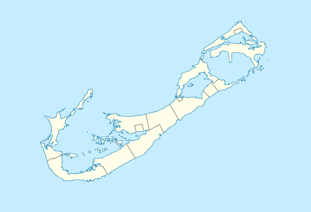
| Description | Deutsch: Positionskarte von Bermuda Geographische Begrenzung der Karte:
English: Location map of Bermuda Geographic limits of the map:
| ||||||||||||
| Date | |||||||||||||
| Source | Travail personnel | ||||||||||||
| Auteur | NordNordWest | ||||||||||||
| Autorisation (Réutilisation de ce fichier) |
|
 | Cette carte a été créée ou améliorée dans le Kartenwerkstatt (Atelier cartographique allemand). Vous pouvez également y proposer des cartes à améliorer. |
| Annotations | Cette image est annotée : Voir les annotations sur Wikimedia Commons |
Historique du fichier
Cliquer sur une date et heure pour voir le fichier tel qu'il était à ce moment-là.
| Date et heure | Vignette | Dimensions | Utilisateur | Commentaire | |
|---|---|---|---|---|---|
| actuel | 19 décembre 2009 à 16:29 | | 1 311 × 893 (58 kio) | NordNordWest | == {{int:filedesc}} == {{Information |Description= {{de|Positionskarte von Bermuda}} Geographische Begrenzung der Karte: * N: 32.41° N * S: 32.22° N * W: 64.93° W * O: 64.6° W {{en|Location map of Bermuda}} Geographic l |
Utilisation du fichier
Aucune page n’utilise ce fichier.
Usage global du fichier
Les autres wikis suivants utilisent ce fichier :
- Utilisation sur af.wikipedia.org
- Utilisation sur an.wikipedia.org
- Utilisation sur ar.wikipedia.org
- Utilisation sur ast.wikipedia.org
- Utilisation sur az.wikipedia.org
- Utilisation sur ba.wikipedia.org
- Utilisation sur be-tarask.wikipedia.org
- Utilisation sur be.wikipedia.org
- Utilisation sur bg.wikipedia.org
- Utilisation sur bn.wikipedia.org
- Utilisation sur bs.wikipedia.org
- Utilisation sur ceb.wikipedia.org
- Plantilya:Location map United Kingdom Bermuda
- Grape Bay (luuk sa Bermuda)
- Spanish Point
- South Channel
- Soldier Point
- Saint George
- Port Royal Bay
- Rabbit Island
- Nonsuch Bay
- The Narrows
- Long Island
- Long Bay
- High Point
- Green Bay
- Grape Bay
- Great Bay
- Goat Island
- Crawl Point
- Bird Island
- North Point
- North Channel
- Pembroke
- Long Rock
- Black Rock
- Cat Island
Voir davantage sur l’utilisation globale de ce fichier.
Explore the world

United states
New York

Japan
Tokyo

Singapore
Singapore
