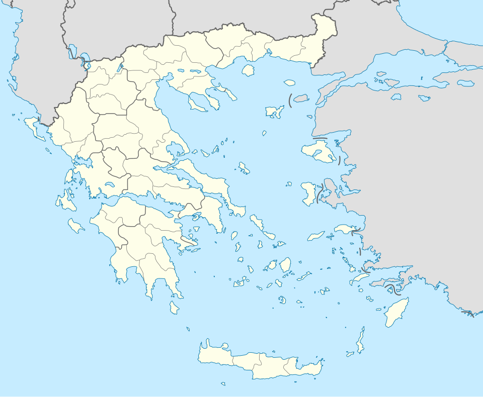
Taille de cet aperçu PNG pour ce fichier SVG : 729 × 600 pixels. Autres résolutions : 292 × 240 pixels | 584 × 480 pixels | 934 × 768 pixels | 1 245 × 1 024 pixels | 2 490 × 2 048 pixels | 1 003 × 825 pixels.
Fichier d’origine (Fichier SVG, nominalement de 1 003 × 825 pixels, taille : 833 kio)
Historique du fichier
Cliquer sur une date et heure pour voir le fichier tel qu'il était à ce moment-là.
| Date et heure | Vignette | Dimensions | Utilisateur | Commentaire | |
|---|---|---|---|---|---|
| actuel | 10 décembre 2015 à 01:13 |  | 1 003 × 825 (833 kio) | SilentResident | Reverted to version as of 16:28, 11 September 2008 (UTC) The Prefectures became Regional Administrative Units with the same borders |
| 18 décembre 2010 à 22:33 |  | 1 003 × 825 (673 kio) | Pitichinaccio | Prefecture borders removed. The prefectures of Greece were suppressed in 2010. Präfekturgrenzen entfernt. Die griechischen Präfekturen wurde 2010 abgeschafft. | |
| 11 septembre 2008 à 16:28 |  | 1 003 × 825 (833 kio) | Lencer | {{Information |Description= |Source= |Date= |Author= |Permission= |other_versions= }} | |
| 16 août 2008 à 12:13 |  | 1 003 × 825 (818 kio) | Lencer | {{Information |Description= |Source= |Date= |Author= |Permission= |other_versions= }} | |
| 23 juillet 2008 à 18:26 |  | 869 × 715 (823 kio) | Lencer | {{Information |Description= |Source= |Date= |Author= |Permission= |other_versions= }} | |
| 23 juillet 2008 à 18:11 |  | 869 × 715 (823 kio) | Lencer | {{Information |Description= {{de|Positionskarte von Griechenland}} Quadratische Plattkarte, N-S-Streckung 120 %. Geographische Begrenzung der Karte: * N: 42.0° N * S: 34.6° N * W: 19.1° O * O: 29.9° O {{en|Location map of |
Utilisation du fichier
Aucune page n’utilise ce fichier.
Usage global du fichier
Les autres wikis suivants utilisent ce fichier :
- Utilisation sur af.wikipedia.org
- Utilisation sur als.wikipedia.org
- Utilisation sur am.wikipedia.org
- Utilisation sur an.wikipedia.org
Voir davantage sur l’utilisation globale de ce fichier.


 Français
 Italiano


