
 Français
 Italiano
Fichier d’origine (Fichier SVG, nominalement de 496 × 399 pixels, taille : 10,71 Mio)
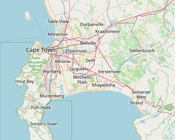
| Description | Cette carte de Cape Town a été créée à partir des données du projet OpenStreetMap. Cette carte est peut-être incomplète et peut contenir des erreurs. Ne vous fiez pas uniquement à elle pour vos déplacements. | |||||||||
| Date | (voir l'historique du fichier) | |||||||||
| Source | openstreetmap.org | |||||||||
| Créé par | contributeurs d'OpenStreetMap | |||||||||
| Autorisation (Réutilisation de ce fichier) | Les données d'OpenStreetMap sont disponibles sous la license Open Database (détails). Les cartes sont publiées sous license Creative Commons Attribution-Partage dans les Mêmes Conditions 2.0 (CC-BY-SA 2.0).
Ce fichier est disponible selon les termes de la licence Creative Commons Attribution – Partage dans les Mêmes Conditions 2.0 Générique
| |||||||||
| Données géotemporelles | ||||||||||
| Rectangle englobant |
| |||||||||
| Géoréférencement | Si c'est inapproprié, définissez warp_status = skip pour masquer. | |||||||||
derivative works
Œuvres dérivées de ce fichier : OpenStreetMap Kaapstad klein Afrikaans.svg
Historique du fichier
Cliquer sur une date et heure pour voir le fichier tel qu'il était à ce moment-là.
| Date et heure | Vignette | Dimensions | Utilisateur | Commentaire | |
|---|---|---|---|---|---|
| actuel | 16 janvier 2022 à 09:11 | | 496 × 399 (10,71 Mio) | Htonl | customize labels |
| 16 janvier 2022 à 08:27 |  | 496 × 399 (12,15 Mio) | Htonl | update | |
| 12 janvier 2011 à 07:12 |  | 424 × 351 (1,71 Mio) | Htonl | *tiny* tweak | |
| 12 janvier 2011 à 07:07 |  | 424 × 351 (1,72 Mio) | Htonl | bounds | |
| 3 février 2010 à 16:36 |  | 496 × 399 (2,36 Mio) | Htonl | {{OpenStreetMap|location=Cape Town}} Category:OpenStreetMap maps of South Africa |
Utilisation du fichier
Aucune page n’utilise ce fichier.
Usage global du fichier
Les autres wikis suivants utilisent ce fichier :
- Utilisation sur af.wikipedia.org
- Constantia
- Steenberg
- Athlone
- Bo-Kaap
- Table View
- Goodwood
- Pinelands
- Strand, Wes-Kaap
- Nuweland
- Wynberg
- Rondebosch
- Rosebank, Kaapstad
- Claremont, Kaapstad
- Mowbray
- Zwaanswyk
- Kaapstad Internasionale Lughawe
- Maitland
- Seepunt
- Drieankerbaai
- Brackenfell
- Observatory
- Soutrivier
- Woodstock
- Plumstead
- Llandudno
- Bergvliet
- Bishopscourt
- Heathfield
- Monte Vista
- Lansdowne
- Milnerton
- Kalkbaai
- Noordhoek
- Oranjezicht
- Tamboerskloof
- Hoërskool Durbanville
- Belhar
- Kampsbaai
- Higgovale
- Vredehoek
- Clifton
- Schotsche Kloof
- Zonnebloem
- Mouillepunt
- Elsiesrivier
- Bantrybaai
- Blue Downs
- Crawford
- Ottery
- Mfuleni
Voir davantage sur l’utilisation globale de ce fichier.
Métadonnées
Explore the world

United states
New York

Japan
Tokyo

Singapore
Singapore
