
 Français
 Italiano
Taille de cet aperçu PNG pour ce fichier SVG : 685 × 600 pixels. Autres résolutions : 274 × 240 pixels | 548 × 480 pixels | 877 × 768 pixels | 1 169 × 1 024 pixels | 2 339 × 2 048 pixels | 1 425 × 1 248 pixels.
Fichier d’origine (Fichier SVG, nominalement de 1 425 × 1 248 pixels, taille : 1,71 Mio)
Royal infirmary
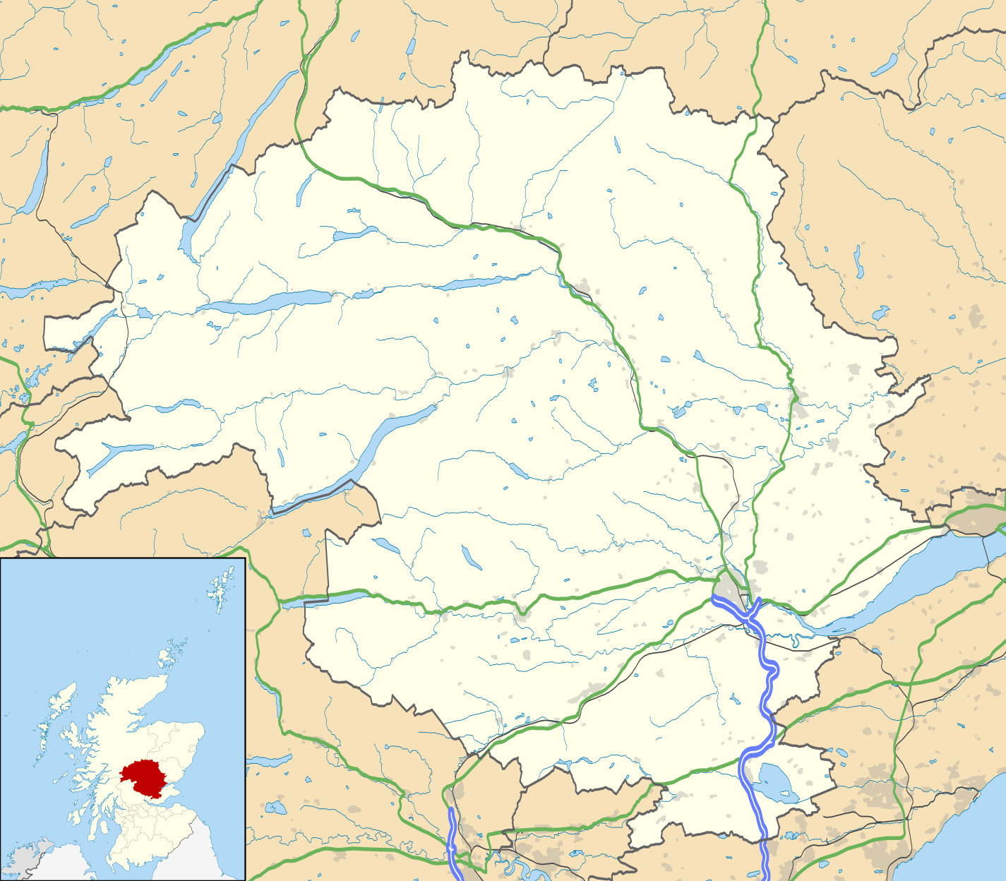
| Description | Blank map of Perth and Kinross, UK with the following information shown:
Equirectangular map projection on WGS 84 datum, with N/S stretched 180% Geographic limits:
|
| Date | |
| Source |
|
| Auteur | Nilfanion, created using Ordnance Survey data |
| Autorisation (Réutilisation de ce fichier) | Ce fichier est disponible selon les termes de la licence Creative Commons Attribution – Partage dans les Mêmes Conditions 3.0 Non Transposé. Attribution: Contains Ordnance Survey data © Crown copyright and database right
|
| Autres versions | File:Perth and Kinross UK blank map.svg - Blank map |
Historique du fichier
Cliquer sur une date et heure pour voir le fichier tel qu'il était à ce moment-là.
| Date et heure | Vignette | Dimensions | Utilisateur | Commentaire | |
|---|---|---|---|---|---|
| actuel | 26 septembre 2010 à 20:21 | | 1 425 × 1 248 (1,71 Mio) | Nilfanion | {{Information |Description=Blank map of Perth and Kinross, UK with the following information shown: *Administrative borders *Coastline, lakes and rivers *Roads and railways *Urban areas Equirectangular map projection on WGS 84 dat |
Utilisation du fichier
Aucune page n’utilise ce fichier.
Usage global du fichier
Les autres wikis suivants utilisent ce fichier :
- Utilisation sur ar.wikipedia.org
- Utilisation sur ba.wikipedia.org
- Utilisation sur bg.wikipedia.org
- Utilisation sur ceb.wikipedia.org
- Utilisation sur de.wikipedia.org
- Utilisation sur en.wikipedia.org
- Perth, Scotland
- List of monastic houses in Scotland
- Perth and Kinross
- Crieff
- Auchterarder
- Pitlochry
- Kinross
- Blairgowrie and Rattray
- Blair Atholl
- Inchtuthil
- Blair Castle
- Dunning, Perth and Kinross
- Milnathort
- Abernethy, Perth and Kinross
- Coupar Angus
- McDiarmid Park
- Aberfeldy, Perth and Kinross
- Scone Palace
- Broxden Junction
- Errol, Perth and Kinross
- Huntingtower and Ruthvenfield
- Comrie, Perth and Kinross
- Ardoch Roman Fort
- Kenmore, Perth and Kinross
- Abbots Deuglie
- Aberargie
- Abercairny
- Aberdalgie
- Abernyte
- Aberuthven
- Achalader
- Acharn, Perth and Kinross
- Achnafauld
- Airntully
- St Fillans
- Battle of Two Rivers
- Blackford, Perth and Kinross
- Dunkeld
- Killiecrankie
Voir davantage sur l’utilisation globale de ce fichier.
Explore the world

United states
New York

Japan
Tokyo

Singapore
Singapore
