
 Français
 Italiano
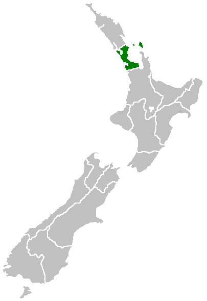
Pas de plus haute résolution disponible.
Position_of_Auckland_Region.png (405 × 590 pixels, taille du fichier : 7 kio, type MIME : image/png)
Region of New Zealand, position on the map (source:English Wiki)
| | Cette image a été (ou est ici-même) mise à disposition dans le domaine public par son auteur, Furius dans le projet anglais Wikimedia Commons. Ceci s'applique partout dans le monde. Au cas où cela n'est pas possible légalement : |
Historique du fichier
Cliquer sur une date et heure pour voir le fichier tel qu'il était à ce moment-là.
| Date et heure | Vignette | Dimensions | Utilisateur | Commentaire | |
|---|---|---|---|---|---|
| actuel | 27 avril 2005 à 07:40 | | 405 × 590 (7 kio) | Domie~commonswiki | Region of New Zealand, position on the map (source:English Wiki) {{PD}} Category:Maps of New Zealand |
Utilisation du fichier
Aucune page n’utilise ce fichier.
Usage global du fichier
Les autres wikis suivants utilisent ce fichier :
- Utilisation sur ceb.wikipedia.org
- Utilisation sur en.wikipedia.org
- Dragon Island (New Zealand)
- Colville Channel
- Jellicoe Channel
- Cradock Channel
- Anawhata
- Matiatia
- Stockade Hill
- Southdown, New Zealand
- Blackpool, New Zealand
- Waitemata City
- Aiguilles Island
- Te Ārai
- Pakatoa Island
- Papakura City
- Template:Auckland-geo-stub
- Churchill Park, New Zealand
- Mathesons Bay
- Watchman Island
- Windy Canyon
- Mount Hobson (Great Barrier Island)
- Lower Nihotupu Reservoir
- Onepoto (volcanic crater)
- Bike Auckland
- Woodcocks, New Zealand
- Tarahiki Island
- Tomarata
- Umupuia Beach
- Long Bay Regional Park
- Cosseys Reservoir
- Moturekareka Island
- Papakura Military Camp
- Keri Hill
- Traherne Island
- Franklin County, New Zealand
- Rodney County, New Zealand
- Crater Hill
- Matukutūruru
- Mount Cambria
- Ash Hill, New Zealand
- Ōtāhuhu / Mount Richmond
- Pukaki Lagoon
- Pukeiti (Auckland)
- Te Pou Hawaiki
- Duders Hill
- Lake Rototoa
- Lake Keretā
- Little Rangitoto
- Pukewairiki
- Purchas Hill
Voir davantage sur l’utilisation globale de ce fichier.
Explore the world

United states
New York

Japan
Tokyo

Singapore
Singapore
