
 Français
 Italiano
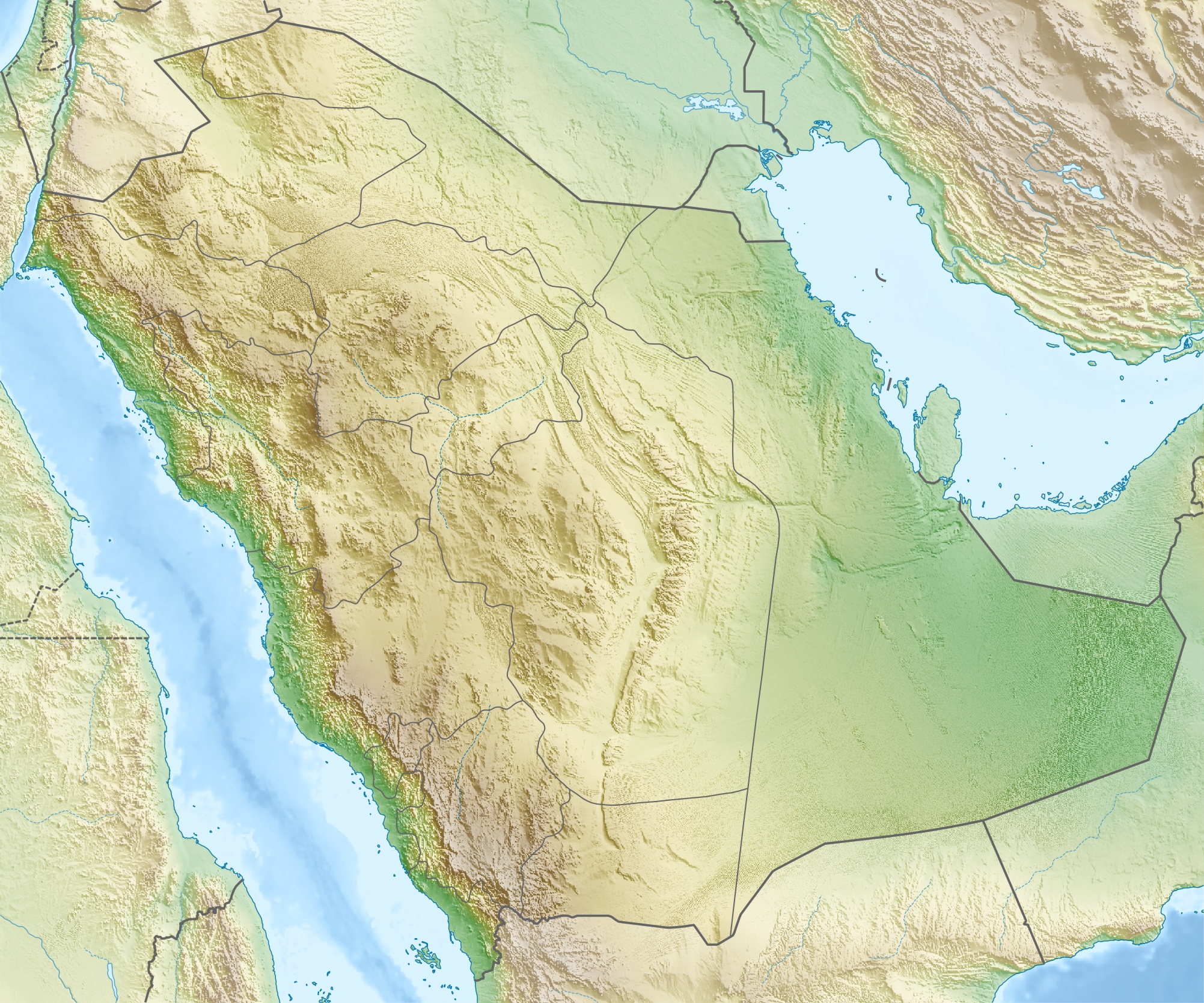
Taille de cet aperçu : 720 × 600 pixels. Autres résolutions : 288 × 240 pixels | 577 × 480 pixels | 922 × 768 pixels | 1 230 × 1 024 pixels | 2 003 × 1 668 pixels.
Fichier d’origine (2 003 × 1 668 pixels, taille du fichier : 1,67 Mio, type MIME : image/jpeg)
| Description | العربية: خريطة مواقع السعودية. إسقاط متساوي المستطيلات (الإسقاط الجغرافي)، شمال / جنوب امتداد 110٪. الحدود الجغرافية للخريطة:
Deutsch: Physische Positionskarte von Saudi-Arabien Quadratische Plattkarte, N-S-Streckung 110 %. Geographische Begrenzung der Karte:
English: Physical location map of Saudi Arabia Equirectangular projection, N/S stretching 110 %. Geographic limits of the map:
|
| Date | |
| Source | Travail personnel, using map data from administrative map by NordNordWest. The relief was created from SRTM-30 relief data. |
| Auteur | Carport |
| Autorisation (Réutilisation de ce fichier) | Ce fichier est disponible selon les termes de la licence Creative Commons Attribution – Partage dans les Mêmes Conditions 3.0 Non Transposé.
|
| Autres versions |
|
.jpg)


Historique du fichier
Cliquer sur une date et heure pour voir le fichier tel qu'il était à ce moment-là.
| Date et heure | Vignette | Dimensions | Utilisateur | Commentaire | |
|---|---|---|---|---|---|
| actuel | 16 mai 2010 à 17:28 | | 2 003 × 1 668 (1,67 Mio) | Carport | {{Information |Description={{de|Physische Positionskarte von {{w|Saudi-Arabien|3=de}}}} Quadratische Plattkarte, N-S-Streckung 110 %. Geographische Begrenzung der Karte: * N: 32.5° N * S: 16.0° N * W: 34.2° O * O: 56.0° O {{en|Physical location map of |
Utilisation du fichier
Aucune page n’utilise ce fichier.
Usage global du fichier
Les autres wikis suivants utilisent ce fichier :
- Utilisation sur ace.wikipedia.org
- Utilisation sur als.wikipedia.org
- Utilisation sur ar.wikipedia.org
- حقل الغوار
- جرول
- معمل غاز حرض
- متنزه الأحساء الوطني
- سد وادي جازان
- سد وادي بيش
- الحرب العثمانية السعودية
- مستخدم:عبد المؤمن/مسودات/خرائط/السعودية
- محطة الشعيبة لتحلية المياه المالحة وتوليد الطاقة الكهربائية
- محطة رأس الخير لتحلية المياه وإنتاج الطاقة
- منفذ جديدة عرعر (السعودية)
- متنزه الغاط الوطني (السعودية)
- عين حنين
- كأس خادم الحرمين الشريفين 2023–24
- Utilisation sur ast.wikipedia.org
- Utilisation sur av.wikipedia.org
- Utilisation sur azb.wikipedia.org
- Utilisation sur az.wikipedia.org
- Qırmızı dəniz
- Ərəbistan yarımadası
- İran körfəzi
- Mina dağı
- Ərəfat dağı
- Şablon:Yarımada
- Şablon:Yer xəritəsi Səudiyyə Ərəbistanı
- Əl-Ərəbiyə
- Ərəb səhrası
- Rub əl-Xali
- Hira
- Şablon:Yarımada/doc
- Dəhnə (səhra)
- Böyük Nefud
- Əl-Əhsa
- Cafura
- Tihamə
- Sanafir adası
- Tiran adası
- Karan adası
- Farasan arxipelaqı
- Ayneyn təpəsi
- Utilisation sur ba.wikipedia.org
Voir davantage sur l’utilisation globale de ce fichier.
Métadonnées
Explore the world

United states
New York

Japan
Tokyo

Singapore
Singapore
