
 Français
 Italiano
Taille de cet aperçu PNG pour ce fichier SVG : 800 × 520 pixels. Autres résolutions : 320 × 208 pixels | 640 × 416 pixels | 1 024 × 665 pixels | 1 280 × 832 pixels | 2 560 × 1 663 pixels | 1 539 × 1 000 pixels.
Fichier d’origine (Fichier SVG, nominalement de 1 539 × 1 000 pixels, taille : 78 kio)
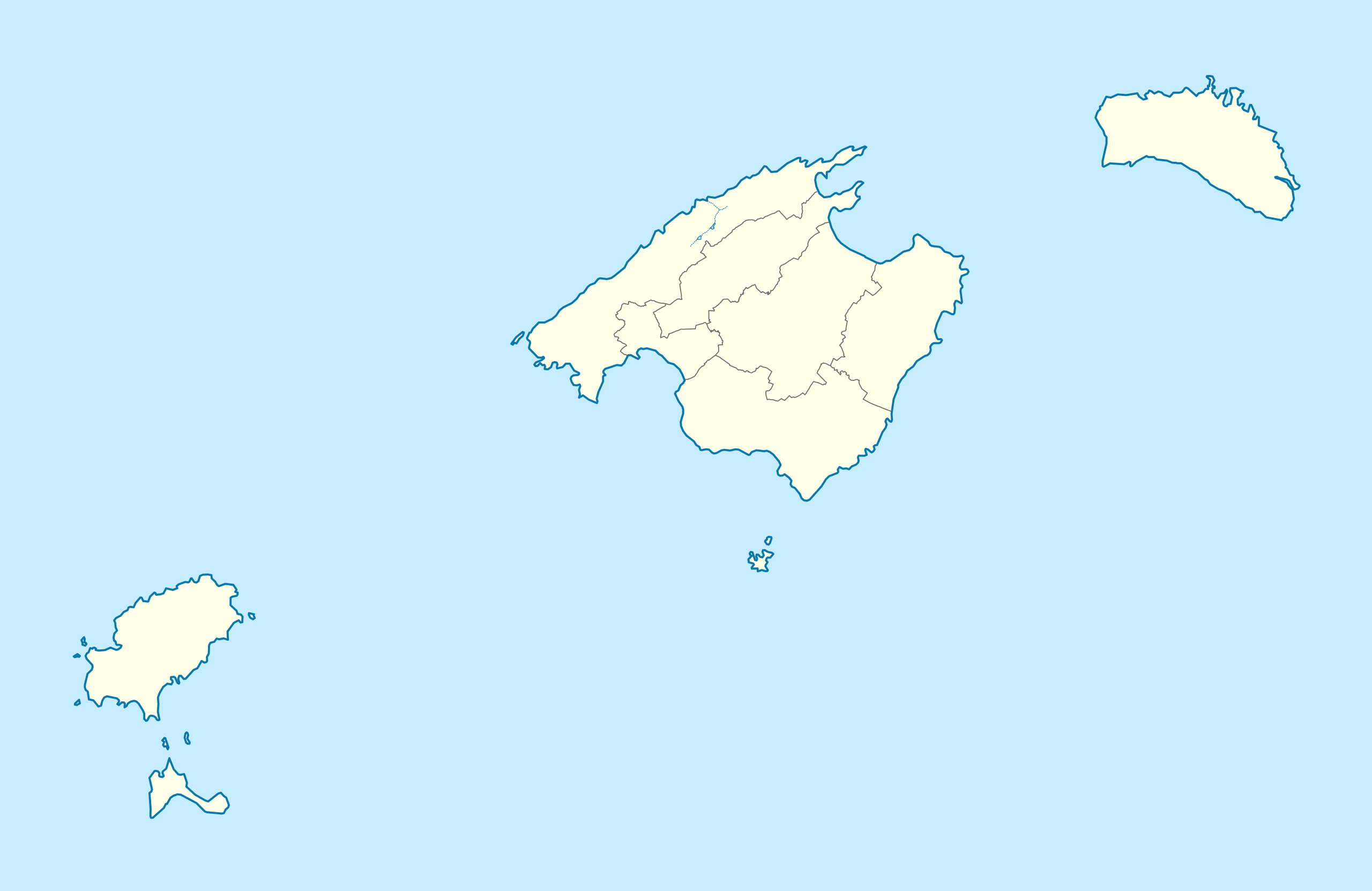
| Description | Deutsch: Positionskarte von Balearische Inseln Quadratische Plattkarte, N-S-Streckung 130 %. Geographische Begrenzung der Karte:
English: Location map of Balearic Islands Equirectangular projection, N/S stretching 130 %. Geographic limits of the map:
|
| Date | (UTC) |
| Source | |
| Auteur | |
| Autres versions |
|

Ce fichier est disponible selon les termes de la licence Creative Commons Attribution – Partage dans les Mêmes Conditions 3.0 Non Transposé.
- Vous êtes libre :
- de partager – de copier, distribuer et transmettre cette œuvre
- d’adapter – de modifier cette œuvre
- Sous les conditions suivantes :
- paternité – Vous devez donner les informations appropriées concernant l'auteur, fournir un lien vers la licence et indiquer si des modifications ont été faites. Vous pouvez faire cela par tout moyen raisonnable, mais en aucune façon suggérant que l’auteur vous soutient ou approuve l’utilisation que vous en faites.
- partage à l’identique – Si vous modifiez, transformez ou vous basez sur cet élément, vous devez distribuer votre contribution sous une license identique ou compatible à celle de l’original.
Journal des téléversements d’origine
This image is a derivative work of the following images:
- File:Spain_location_map.svg licensed with Cc-by-sa-3.0, GFDL
- 2008-07-07T14:23:21Z NordNordWest 1184x1016 (548734 Bytes)
- File:LocBaleares.svg licensed with Cc-by-sa-3.0,2.5,2.0,1.0, GFDL
- File:Localització_de_la_Serra_de_la_Tramuntana.png licensed with Cc-by-sa-3.0-migrated, GFDL
- 2005-08-15T00:43:04Z Unf 231x179 (8359 Bytes)
Téléversé avec derivativeFX
Historique du fichier
Cliquer sur une date et heure pour voir le fichier tel qu'il était à ce moment-là.
| Date et heure | Vignette | Dimensions | Utilisateur | Commentaire | |
|---|---|---|---|---|---|
| actuel | 7 mars 2010 à 21:18 | | 1 539 × 1 000 (78 kio) | Spischot | Fix: Transparency of region borders |
| 7 mars 2010 à 15:42 |  | 1 539 × 1 000 (79 kio) | Spischot | {{Information |Description= {{de|Positionskarte von de:Balearische Inseln}} Quadratische Plattkarte, N-S-Streckung 130 %. Geographische Begrenzung der Karte: * N: 40.25° N * S: 38.5° N * W: 1.0° O * O: 4.5° O {{en|Location map of [[:en:Ba |
Utilisation du fichier
Aucune page n’utilise ce fichier.
Usage global du fichier
Les autres wikis suivants utilisent ce fichier :
- Utilisation sur ar.wikipedia.org
- Utilisation sur ast.wikipedia.org
- Utilisation sur azb.wikipedia.org
- Utilisation sur az.wikipedia.org
- Utilisation sur bg.wikipedia.org
- Utilisation sur ceb.wikipedia.org
- Utilisation sur da.wikipedia.org
- San Antonio Abad
- Palma de Mallorca
- Alcudia
- Valldemosa
- Formentera
- Ciudadela (De Baleariske Øer)
- Santañí
- Santa Margarita
- Sóller
- Mahón
- Petra (De Baleariske Øer)
- Son Servera
- Escorca
- Porreras
- Manacor
- Consell
- Ibiza (by)
- San José (De Baleariske Øer)
- Santa Eulalia del Río
- San Juan Bautista
- Alayor
- Ferrerías
- Mercadal (De Baleariske Øer)
- San Cristóbal (De Baleariske Øer)
- San Luis (De Baleariske Øer)
- Villacarlos
- Pollensa
- La Puebla
- Las Salinas
- Calviá
- Andrach
- Campos (De Baleariske Øer)
- Capdepera
- Deyá
Voir davantage sur l’utilisation globale de ce fichier.
Explore the world

United states
New York

Japan
Tokyo

Singapore
Singapore
