
 Français
 Italiano
Taille de cet aperçu PNG pour ce fichier SVG : 764 × 599 pixels. Autres résolutions : 306 × 240 pixels | 612 × 480 pixels | 979 × 768 pixels | 1 280 × 1 004 pixels | 2 560 × 2 009 pixels | 966 × 758 pixels.
Fichier d’origine (Fichier SVG, nominalement de 966 × 758 pixels, taille : 161 kio)
Description
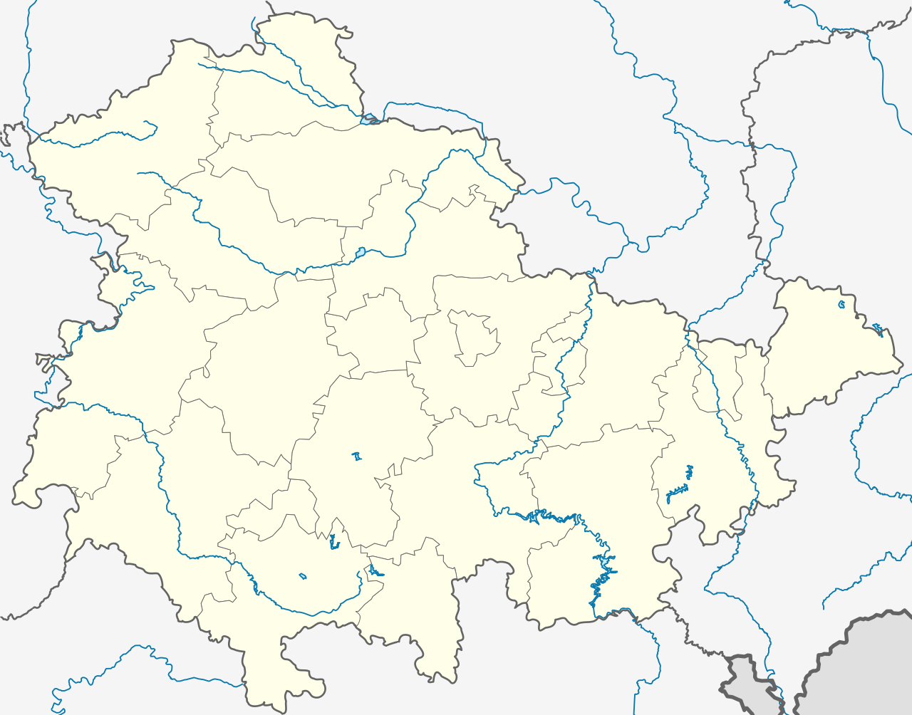
| Description | Deutsch: Positionskarte Thüringen, Deutschland. Geographische Begrenzung der Karte: English: Location map Thuringia, Germany. Geographic limits of the map:
| |||
| Date | ||||
| Source | own work, templates were:
| |||
| Auteur | TUBS | |||
| Autres versions | Œuvres dérivées de ce fichier : Location map of the scope of the Rhein-Main-Verkehrsverbund.svg
| |||
| SVG information | Cette carte a été créée avec Adobe Illustrator, et avec Inkscape.
|


Conditions d’utilisation
Moi, en tant que détenteur des droits d’auteur sur cette œuvre, je la publie sous les licences suivantes :
 | Vous avez la permission de copier, distribuer et modifier ce document selon les termes de la GNU Free Documentation License version 1.2 ou toute version ultérieure publiée par la Free Software Foundation, sans sections inaltérables, sans texte de première page de couverture et sans texte de dernière page de couverture. Un exemplaire de la licence est inclus dans la section intitulée GNU Free Documentation License. |
Ce fichier est sous licence Creative Commons Attribution – Partage dans les Mêmes Conditions 3.0 Non Transposé, 2.5 Générique, 2.0 Générique et 1.0 Générique.
- Vous êtes libre :
- de partager – de copier, distribuer et transmettre cette œuvre
- d’adapter – de modifier cette œuvre
- Sous les conditions suivantes :
- paternité – Vous devez donner les informations appropriées concernant l'auteur, fournir un lien vers la licence et indiquer si des modifications ont été faites. Vous pouvez faire cela par tout moyen raisonnable, mais en aucune façon suggérant que l’auteur vous soutient ou approuve l’utilisation que vous en faites.
- partage à l’identique – Si vous modifiez, transformez ou vous basez sur cet élément, vous devez distribuer votre contribution sous une license identique ou compatible à celle de l’original.
Vous pouvez choisir l’une de ces licences.
Historique du fichier
Cliquer sur une date et heure pour voir le fichier tel qu'il était à ce moment-là.
| Date et heure | Vignette | Dimensions | Utilisateur | Commentaire | |
|---|---|---|---|---|---|
| actuel | 31 décembre 2023 à 19:35 | | 966 × 758 (161 kio) | NordNordWest | upd |
| 31 décembre 2022 à 11:10 |  | 966 × 758 (161 kio) | NordNordWest | upd | |
| 30 juin 2021 à 17:47 |  | 966 × 758 (161 kio) | NordNordWest | upd | |
| 30 décembre 2018 à 12:08 |  | 966 × 758 (162 kio) | NordNordWest | upd 2019 | |
| 11 octobre 2009 à 18:11 |  | 966 × 758 (642 kio) | Alexrk2 | Landesgrenze und vereinzelt Flussläufe korrigiert | |
| 31 janvier 2009 à 00:44 |  | 966 × 758 (670 kio) | TUBS | Improved rivers outside thuringia | |
| 29 janvier 2009 à 00:09 |  | 966 × 758 (732 kio) | TUBS | == Summary == {{Information |Description= {{de|Positionskarte Thüringen, Deutschland. Geographische Begrenzung der Karte:}} {{en|Location map Thuringia, Germany. Geographic limits of the map:}} * N: 50.xx° N * S: 4 | |
| 29 janvier 2009 à 00:00 |  | 966 × 758 (732 kio) | TUBS | == Summary == {{Information |Description= {{de|Positionskarte Thüringen, Deutschland. Geographische Begrenzung der Karte:}} {{en|Location map Thuringia, Germany. Geographic limits of the map:}} * N: 50.xx° N * S: 4 | |
| 28 janvier 2009 à 23:43 |  | 966 × 758 (734 kio) | TUBS | == Summary == {{Information |Description= {{de|Positionskarte Thüringen, Deutschland. Geographische Begrenzung der Karte:}} {{en|Location map Thuringia, Germany. Geographic limits of the map:}} * N: 50.xx° N * S: 4 |
Utilisation du fichier
Aucune page n’utilise ce fichier.
Usage global du fichier
Les autres wikis suivants utilisent ce fichier :
- Utilisation sur ar.wikipedia.org
- Utilisation sur azb.wikipedia.org
- Utilisation sur ba.wikipedia.org
- Абтсбессинген
- Айзенах
- Айзенберг (Тюрингия)
- Айнеборн
- Айнхаузен (Тюрингия)
- Айсфельд
- Айхенберг (Йена)
- Айхенберг (Хильдбургхаузен)
- Айхструт
- Аллендорф (Тюрингия)
- Альберсдорф (Тюрингия)
- Алькерслебен
- Альперштедт
- Альтенберга
- Альтенбойтен
- Альтенбург
- Альтенготтерн
- Альтенфельд
- Альтерсбах
- Альткирхен
- Альштедт
- Ангельрода
- Анденхаузен
- Андислебен
- Анроде
- Апольда
- Апфельштедт
- Аренсхаузен
- Арнсгеройт
- Арнштадт
- Артерн (Унструт)
- Асбах-Зикенберг
- Аспах (Тюрингия)
- Аулебен
- Аума
- Ауэнгрунд
- Ауэрштедт
- Ашенхаузен
- Бёлен (Тюрингия)
- Бёслебен-Вюллерслебен
- Бад-Берка
- Бад-Бланкенбург
- Бад-Зальцунген
- Бад-Зульца
Voir davantage sur l’utilisation globale de ce fichier.
Métadonnées
Explore the world

United states
New York

Japan
Tokyo

Singapore
Singapore
