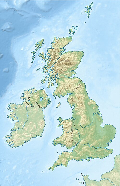
Taille de cet aperçu : 388 × 600 pixels. Autres résolutions : 155 × 240 pixels | 310 × 480 pixels | 497 × 768 pixels | 662 × 1 024 pixels | 1 348 × 2 083 pixels.
Fichier d’origine (1 348 × 2 083 pixels, taille du fichier : 831 kio, type MIME : image/jpeg)
Historique du fichier
Cliquer sur une date et heure pour voir le fichier tel qu'il était à ce moment-là.
| Date et heure | Vignette | Dimensions | Utilisateur | Commentaire | |
|---|---|---|---|---|---|
| actuel | 17 juin 2012 à 18:13 |  | 1 348 × 2 083 (831 kio) | Alexrk2 | inland water |
| 17 juin 2012 à 18:12 |  | 1 354 × 2 090 (829 kio) | Alexrk2 | == {{int:filedesc}} == {{Information |Description= {{de|Positionskarte des Vereinigten Königreichs}} Quadratische Plattkarte, N-S-Streckung 170 %. Geographische Begrenzung der Karte: * N: 61.0° N * S: 49.0° N * W: 11.... |
Utilisation du fichier
Aucune page n’utilise ce fichier.
Usage global du fichier
Les autres wikis suivants utilisent ce fichier :
- Utilisation sur ab.wikipedia.org
- Utilisation sur ar.wikipedia.org
- Utilisation sur arz.wikipedia.org
- Utilisation sur ast.wikipedia.org
- Utilisation sur azb.wikipedia.org
- Utilisation sur az.wikipedia.org
- Şablon:Yer xəritəsi Böyük Britaniya
- İrland dənizi
- Ben Nevis
- Pa-de-Kale boğazı
- Şimal boğazı
- Orkney adaları
- Lox Ness
- Arran (ada)
- Fer adası
- Qrampian dağları
- Flanan adaları
- Finqal mağarası
- Hebrid dənizi
- Kelt dənizi
- Menay boğazı
- Nort-Minç boğazı
- Pentlənd-Ferd boğazı
- Yell boğazı
- Lya-Kupe bərzəxi
- Böyük Britaniya (ada)
- Solent
- Leskov adası
- Kernqorms Milli Parkı
- Kembri dağları
- Llin yarımadası
- Ardnamerxan
- Kintayr yarımadası
- Qrinviç yarımadası
- Qauer yarımadası
- Lends End
- Trevos burnu
Voir davantage sur l’utilisation globale de ce fichier.


 Français
 Italiano


