
 Français
 Italiano
גודל התצוגה המקדימה הזאת מסוג PNG של קובץ ה־SVG הזה: 494 × 600 פיקסלים. רזולוציות אחרות: 198 × 240 פיקסלים | 395 × 480 פיקסלים | 633 × 768 פיקסלים | 843 × 1,024 פיקסלים | 1,687 × 2,048 פיקסלים | 1,108 × 1,345 פיקסלים.
לקובץ המקורי (קובץ SVG, הגודל המקורי: 1,108 × 1,345 פיקסלים, גודל הקובץ: 302 ק"ב)
זהו קובץ שמקורו במיזם ויקישיתוף. תיאורו בדף תיאור הקובץ המקורי (בעברית) מוצג למטה ויקישיתוף הוא מאגר תמונות וקובצי מדיה חופשיים. אתם יכולים לעזור. |
תקציר
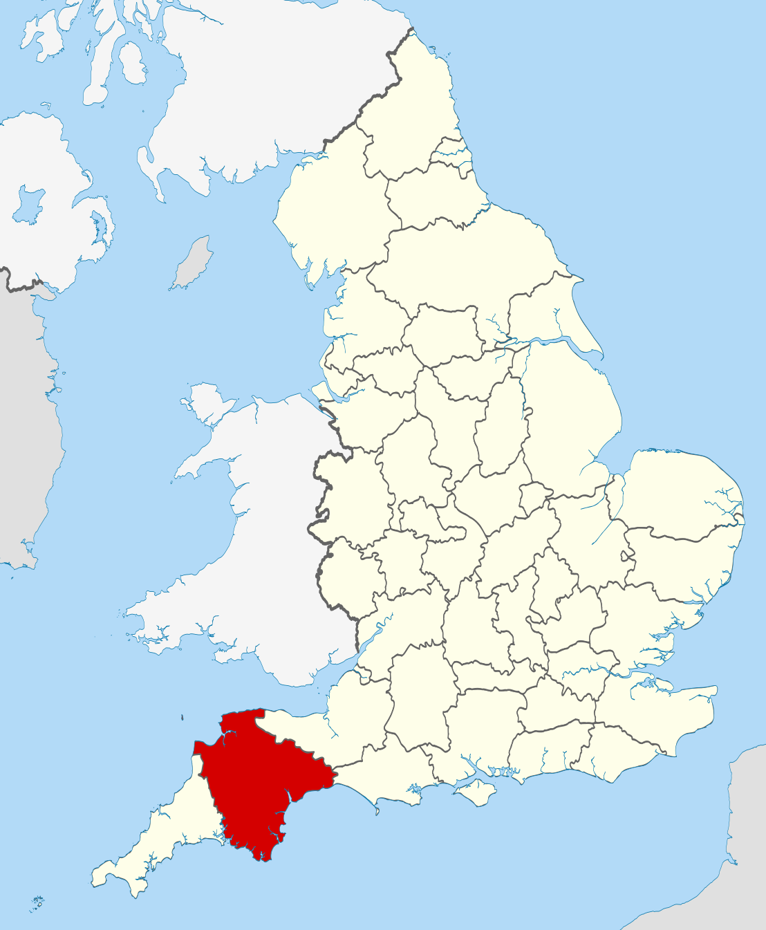
| תיאור | Location of the ceremonial county of Devon within England. |
| תאריך יצירה | |
| מקור |
National Geospatial-Intelligence Agency
|
| יוצר | Nilfanion |
רישיון
אני, בעל זכויות היוצרים על היצירה הזאת, מפרסם אותה בזאת תחת הרישיונות הבאים:
הקובץ הזה מתפרסם לפי תנאי רישיון קריאייטיב קומונז ייחוס-שיתוף זהה 3.0 לא מותאם.
- יש לך חופש:
- לשתף – להעתיק, להפיץ ולהעביר את העבודה
- לערבב בין עבודות – להתאים את העבודה
- תחת התנאים הבאים:
- ייחוס – יש לתת ייחוס הולם, לתת קישור לרישיון, ולציין אם נעשו שינויים. אפשר לעשות את זה בכל צורה סבירה, אבל לא בשום צורה שמשתמע ממנה שמעניק הרישיון תומך בך או בשימוש שלך.
- שיתוף זהה – יצירת רמיקס, שינוי או בנייה על סמך החומר הזה, תטיל עליך חובה להפיץ את התרומות שלך לפי תנאי רישיון זהה או תואם למקור.
 | מוענקת בכך הרשות להעתיק, להפיץ או לשנות את המסמך הזה, לפי תנאי הרישיון לשימוש חופשי במסמכים של גנו, גרסה 1.2 או כל גרסה מאוחרת יותר שתפורסם על־ידי המוסד לתוכנה חופשית; ללא פרקים קבועים, ללא טקסט עטיפה קדמית וללא טקסט עטיפה אחורית. עותק של הרישיון כלול בפרק שכותרתו הרישיון לשימוש חופשי במסמכים של גנו. |
אפשר לבחור את הרישיון שמתאים לך.
 | This is one of the images forming part of the Valued image set: Locator maps of the Ceremonial counties of England on Wikimedia Commons. The image set has been assessed under the valued image set criteria and is considered the most valued set on Commons within the scope: Locator maps of the Ceremonial counties of England You can see its nomination at Commons:Valued image candidates/Locator maps of English ceremonial counties. |
היסטוריית הקובץ
ניתן ללחוץ על תאריך/שעה כדי לראות את הקובץ כפי שנראה באותו זמן.
| תאריך/שעה | תמונה ממוזערת | ממדים | משתמש | הערה | |
|---|---|---|---|---|---|
| נוכחית | 01:33, 24 בנובמבר 2010 | | 1,345 × 1,108 (302 ק"ב) | Nilfanion | == Summary == {{Information |Description=Location of the ceremonial county of Devon within England. |Source=Ordnance Survey [https://www.ordnancesurvey.co.uk/opendatadownload/products.html OpenData]: *County boundaries an |
שימוש בקובץ
אין דפים המשתמשים בקובץ זה.
שימוש גלובלי בקובץ
אתרי הוויקי האחרים הבאים משתמשים בקובץ הזה:
- שימוש באתר af.wikipedia.org
- שימוש באתר an.wikipedia.org
- שימוש באתר arz.wikipedia.org
- שימוש באתר ast.wikipedia.org
- שימוש באתר az.wikipedia.org
- שימוש באתר be-tarask.wikipedia.org
- שימוש באתר be.wikipedia.org
- שימוש באתר bg.wikipedia.org
- שימוש באתר br.wiktionary.org
- שימוש באתר ca.wikipedia.org
- שימוש באתר ceb.wikipedia.org
- שימוש באתר cs.wikipedia.org
- שימוש באתר de.wikivoyage.org
- שימוש באתר el.wikipedia.org
- שימוש באתר en.wikipedia.org
- Devon
- Hamoaze
- Millbridge, Plymouth
- Postbridge
- River Avon, Devon
- Stonehouse Creek
- Morice Town
- Sampford Courtenay
- Leigham
- Bantham Cross
- River Tavy
- River Walkham
- River Lumburn
- River Wallabrooke
- River Burn, Devon
- Collybrooke
- Butterdon Hill
- Stibb Cross
- Black Torrington
- Manaton
- Poundsgate
- Starcross
- East Portlemouth
- Kingsbridge Estuary
- Crownhill
- Eggbuckland
- Laira
- Lipson
- Combe, Yealmpton, Devon
- Combe, Buckfastleigh, Devon
- Combe Fishacre
- Combe Pafford
- Combe Raleigh
צפייה בשימושים גלובליים נוספים של הקובץ הזה.
Explore the world

United states
New York

Japan
Tokyo

Singapore
Singapore
