
 Français
 Italiano
Dimensioni di questa anteprima PNG per questo file SVG: 623 × 600 pixel. Altre risoluzioni: 249 × 240 pixel | 498 × 480 pixel | 797 × 768 pixel | 1 063 × 1 024 pixel | 2 127 × 2 048 pixel | 1 300 × 1 252 pixel.
File originale (file in formato SVG, dimensioni nominali 1 300 × 1 252 pixel, dimensione del file: 196 KB)
| Questo file e la sua pagina di descrizione (discussione · modifica) si trovano su Wikimedia Commons (?) |
Dettagli
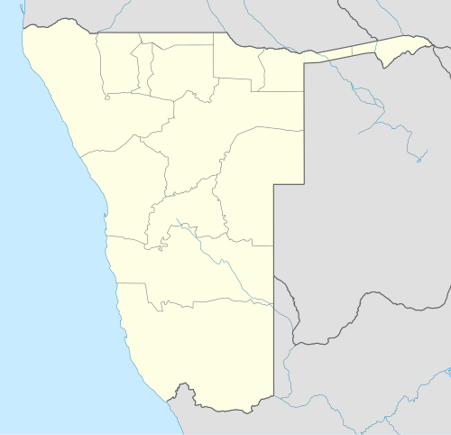
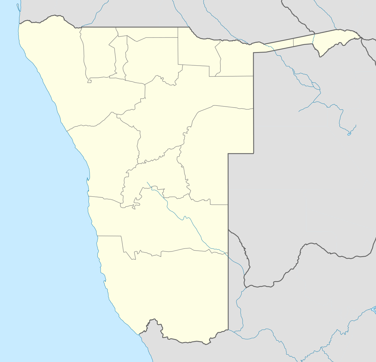
| Descrizione | Deutsch: Location map of Namibia Equirectangular projection. Strechted by 108.0%. Geographic limits of the map:
|
| Data | |
| Fonte | Opera propria |
| Autore | Uwe Dedering |
| Altre versioni |
|

Licenza
Uwe Dedering di Wikipedia in tedesco, detentore del copyright su quest'opera, dichiara di pubblicarla con le seguenti licenze:
 | È permesso copiare, distribuire e/o modificare questo documento in base ai termini della GNU Free Documentation License, Versione 1.2 o successive pubblicata dalla Free Software Foundation; senza alcuna sezione non modificabile, senza testo di copertina e senza testo di quarta di copertina. Una copia della licenza è inclusa nella sezione intitolata Testo della GNU Free Documentation License. |
Questo file è disponibile in base alla licenza Creative Commons Attribuzione-Condividi allo stesso modo 3.0 Unported
Attribuzione: Uwe Dedering di Wikipedia in tedesco
- Tu sei libero:
- di condividere – di copiare, distribuire e trasmettere quest'opera
- di modificare – di adattare l'opera
- Alle seguenti condizioni:
- attribuzione – Devi fornire i crediti appropriati, un collegamento alla licenza e indicare se sono state apportate modifiche. Puoi farlo in qualsiasi modo ragionevole, ma non in alcun modo che suggerisca che il licenziante approvi te o il tuo uso.
- condividi allo stesso modo – Se remixi, trasformi o sviluppi il materiale, devi distribuire i tuoi contributi in base alla stessa licenza o compatibile all'originale.
Questo file è disponibile in base alla licenza Creative Commons Attribuzione-Condividi allo stesso modo 3.0 Germania.
Attribuzione: Uwe Dedering di Wikipedia in tedesco
- Tu sei libero:
- di condividere – di copiare, distribuire e trasmettere quest'opera
- di modificare – di adattare l'opera
- Alle seguenti condizioni:
- attribuzione – Devi fornire i crediti appropriati, un collegamento alla licenza e indicare se sono state apportate modifiche. Puoi farlo in qualsiasi modo ragionevole, ma non in alcun modo che suggerisca che il licenziante approvi te o il tuo uso.
- condividi allo stesso modo – Se remixi, trasformi o sviluppi il materiale, devi distribuire i tuoi contributi in base alla stessa licenza o compatibile all'originale.

Puoi scegliere la licenza che preferisci.
Registro originale del caricamento
Trasferito da de.wikipedia su Commons da Uwe Dedering.
La pagina di descrizione originale era qui. Tutti i nomi utente che seguono sono riferiti a de.wikipedia.
- 2010-02-16 11:11 Uwe Dedering 1300×1252× (303033 bytes) {{Information |Beschreibung = Location map of Namibia Equirectangular projection. Strechted by 108.0%. Geographic limits of the map: * N: -16.0° N * S: -29.0° N * W: 11.0° E * E: 25.0° E Made with Natural Earth. Free vector and raster map data
Cronologia del file
Fare clic su un gruppo data/ora per vedere il file come si presentava nel momento indicato.
| Data/Ora | Miniatura | Dimensioni | Utente | Commento | |
|---|---|---|---|---|---|
| attuale | 20:57, 12 ott 2013 | | 1 300 × 1 252 (196 KB) | NordNordWest | upd |
| 23:50, 16 feb 2010 |  | 1 300 × 1 252 (296 KB) | Uwe Dedering | {{Information |Description={{de|Location map of Namibia Equirectangular projection. Strechted by 108.0%. Geographic limits of the map: * N: -16.4° N * S: -29.6° N * W: 11.0° E * E: 25.8° E Made with Natural Earth. Free vector and raster map data @ nat |
Utilizzo del file
Le seguenti 6 pagine usano questo file:
Utilizzo globale del file
Anche i seguenti wiki usano questo file:
- Usato nelle seguenti pagine di af.wikipedia.org:
- Walvisbaai
- Oranjemund
- Karasburg
- Omaruru
- Karibib
- Usakos
- Otjiwarongo
- Keetmanshoop
- Olifantsrivier
- Mariental
- Maltahöhe
- Hentiesbaai
- Langstrand
- Grootfontein
- Vaalgras
- Rehoboth
- Rundu
- Gobabis
- Warmbad, Namibië
- Tsumeb
- Bethanie
- Otjimbingwe
- Seeheim
- Sjabloon:Liggingkaart Namibië
- Fransfontein
- Omuthiya
- Luhonono
- Namibwoestyn
- Noordoewer
- Arandis
- Aranos
- Kalkfeld
- Outjo
- Otavi
- Witvlei
- Oshakati
- Brukkaros
- Aus
- Asab
- Okahandja
- Suid-Afrikaanse Lugdiens-vlug 228
- Ramansdrift
- Hosea Kutako Internasionale Lughawe
- Windhoek Eros-lughawe
- Walvisbaai-lughawe
- Grootfonteinlughawe
- Katima Mulilo-lughawe
- Ondangwa
- Katima Mulilo
- Gochas
Visualizza l'utilizzo globale di questo file.
Metadati
Explore the world

United states
New York

Japan
Tokyo

Singapore
Singapore
