
 Français
 Italiano
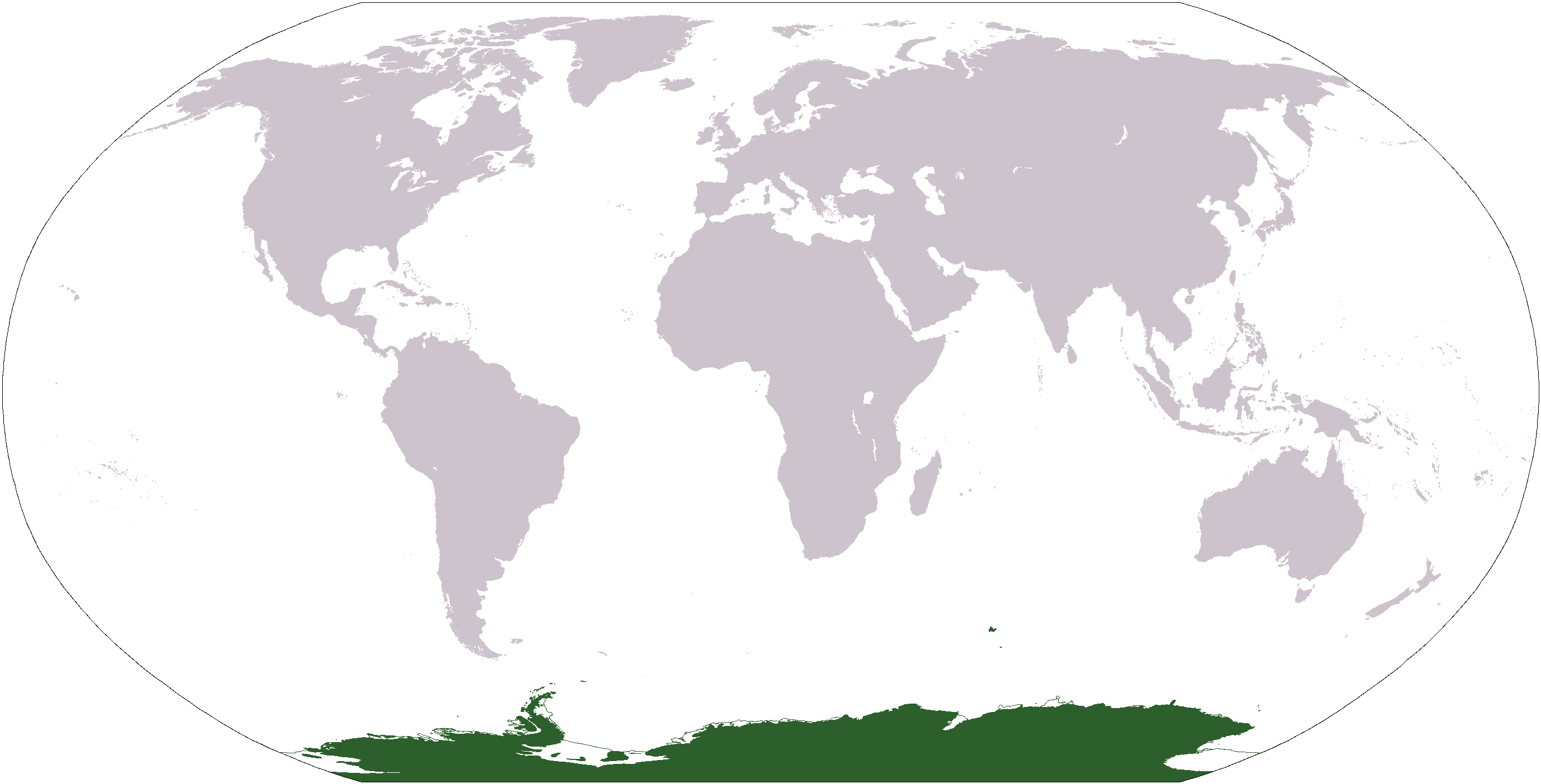
Grootte van deze voorvertoning: 800 × 407 pixels. Andere resoluties: 320 × 163 pixels | 640 × 326 pixels | 1.024 × 521 pixels | 1.280 × 651 pixels | 2.759 × 1.404 pixels.
Oorspronkelijk bestand (2.759 × 1.404 pixels, bestandsgrootte: 50 kB, MIME-type: image/png)
Dit is een bestand van Wikimedia Commons. Onderstaande beschrijving komt van de beschrijving van het bestand daar. Commons is een vrij-gelicenceerde database voor afbeeldingen, geluid, video en andere bestanden. |
 | Bestand:Antarctica Location.svg is een vectorversie van dit bestand. Indien niet van slechtere kwaliteit dient deze gebruikt te worden in plaats van deze rasterafbeelding. File:LocationAntarctica.png → File:Antarctica Location.svg Zie Help:SVG voor meer informatie. |  |
Beschrijving
Español: Mapamundi mostrando la ubicación de la Antártida.
World map depicting Antarctica; map adapted from PDF world map at CIA World Fact Book.
Updated March 31, 2006 to remove green above 60°S line. in december there is 24 hours of sun light
Licentie
Deze afbeelding bevindt zich in het publiek domein omdat het materiaal bevat dat oorspronkelijk afkomstig is van het CIA World Factbook.
|  |
Bestandsgeschiedenis
Klik op een datum/tijd om het bestand te zien zoals het destijds was.
| Datum/tijd | Miniatuur | Afmetingen | Gebruiker | Opmerking | |
|---|---|---|---|---|---|
| huidige versie | 23 apr 2013 19:13 | | 2.759 × 1.404 (50 kB) | User02062000 | |
| 23 apr 2013 19:10 |  | 2.759 × 1.404 (50 kB) | User02062000 | Reverted to version as of 18:54, 20 December 2005 | |
| 19 jan 2008 14:37 |  | 2.759 × 1.404 (97 kB) | F l a n k e r | Transparency | |
| 31 mrt 2006 03:04 |  | 2.759 × 1.404 (55 kB) | David Kernow~commonswiki | ||
| 20 dec 2005 20:54 |  | 2.759 × 1.404 (50 kB) | E Pluribus Anthony~commonswiki | World map: Antarctica (location) | |
| 28 apr 2005 14:38 |  | 2.759 × 1.404 (39 kB) | Ghalas | Extracted from CIA World Factbook PDF world map, then rasterized and colored. {{PD-USGov-CIA-WF}} |
Bestandsgebruik
Geen enkele pagina gebruikt dit bestand.
Globaal bestandsgebruik
Dit bestand wordt op de volgende andere wiki’s gebruikt:
- Gebruikt op af.wikipedia.org
- Gebruikt op am.wikipedia.org
- Gebruikt op ang.wikipedia.org
- Gebruikt op arc.wikipedia.org
- Gebruikt op ar.wikipedia.org
- Gebruikt op arz.wikipedia.org
- Gebruikt op ba.wikipedia.org
- Gebruikt op bcl.wikipedia.org
- Gebruikt op be-tarask.wikipedia.org
- Gebruikt op bjn.wikipedia.org
- Gebruikt op bn.wikipedia.org
- Gebruikt op bo.wikipedia.org
- Gebruikt op bpy.wikipedia.org
- Gebruikt op br.wikipedia.org
Globaal gebruik van dit bestand bekijken.
Metadata
Explore the world

United states
New York

Japan
Tokyo

Singapore
Singapore
